Pittsburgh → the Smokies
Pittsburgh to Gatlinburg by car
Western Pennsylvania's favorite long drive. Plan it like the experts: the right route, realistic hours and an overnight stop that doesn't wreck the first day of vacation.
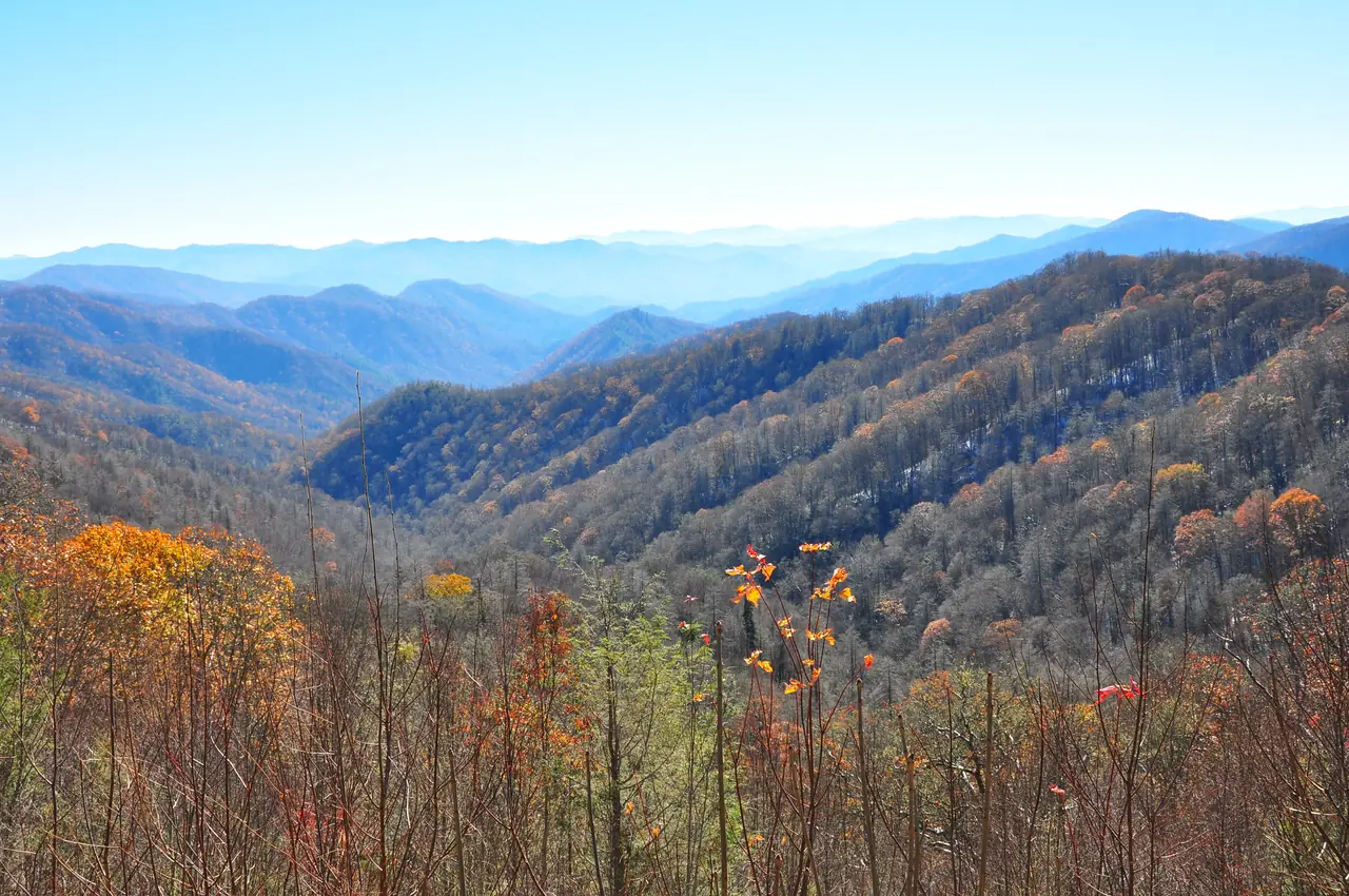
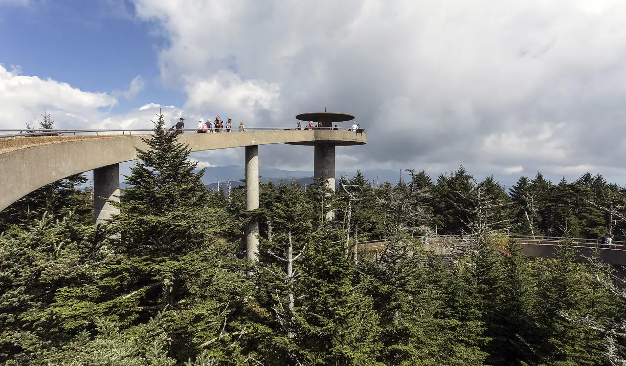
Photo: Washuotaku, CC BY-SA 4.0 / Wikimedia Commons
Short answer
Pittsburgh to Gatlinburg is 493 miles on I-79, US-19, I-77, I-81 and I-40, then into the mountains. At 62 mph that's about 8.0 hours of driving before stops. With young kids, most families split it with a night near Beckley or Wytheville.
The trip
Pittsburgh to the park
Interactive
Plan the drive
Distance: 493 miles by OpenStreetMap routing (OSRM), checked 2026-10-20. Time is distance divided by your average speed, plus your breaks, so it doesn't account for traffic or weather. The gas price is an example: enter what you pay. Tolls are not included: the I-77 stretch in southern West Virginia is the West Virginia Turnpike. A car pays $4.50 cash at each main toll plaza, or $2.93 with a West Virginia E-ZPass; other states' E-ZPass pays $4.50 (rates as of April 2026).
Plan the stay
When you get there

Fly instead
Or fly part of the way
The closest major airport to Gatlinburg is Knoxville's McGhee Tyson (TYS), 45 miles away. From Pittsburgh you'll connect to get there today. Nashville and Atlanta have nonstops from Pittsburgh but leave you a much longer drive.
Or an afternoon
An all-day drive, or a short flight and 45 miles.
Pittsburgh to Gatlinburg is 493 miles by car. Knoxville's airport is 45 miles from Gatlinburg. Today you connect to get there.
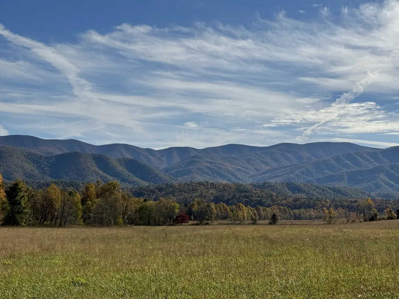
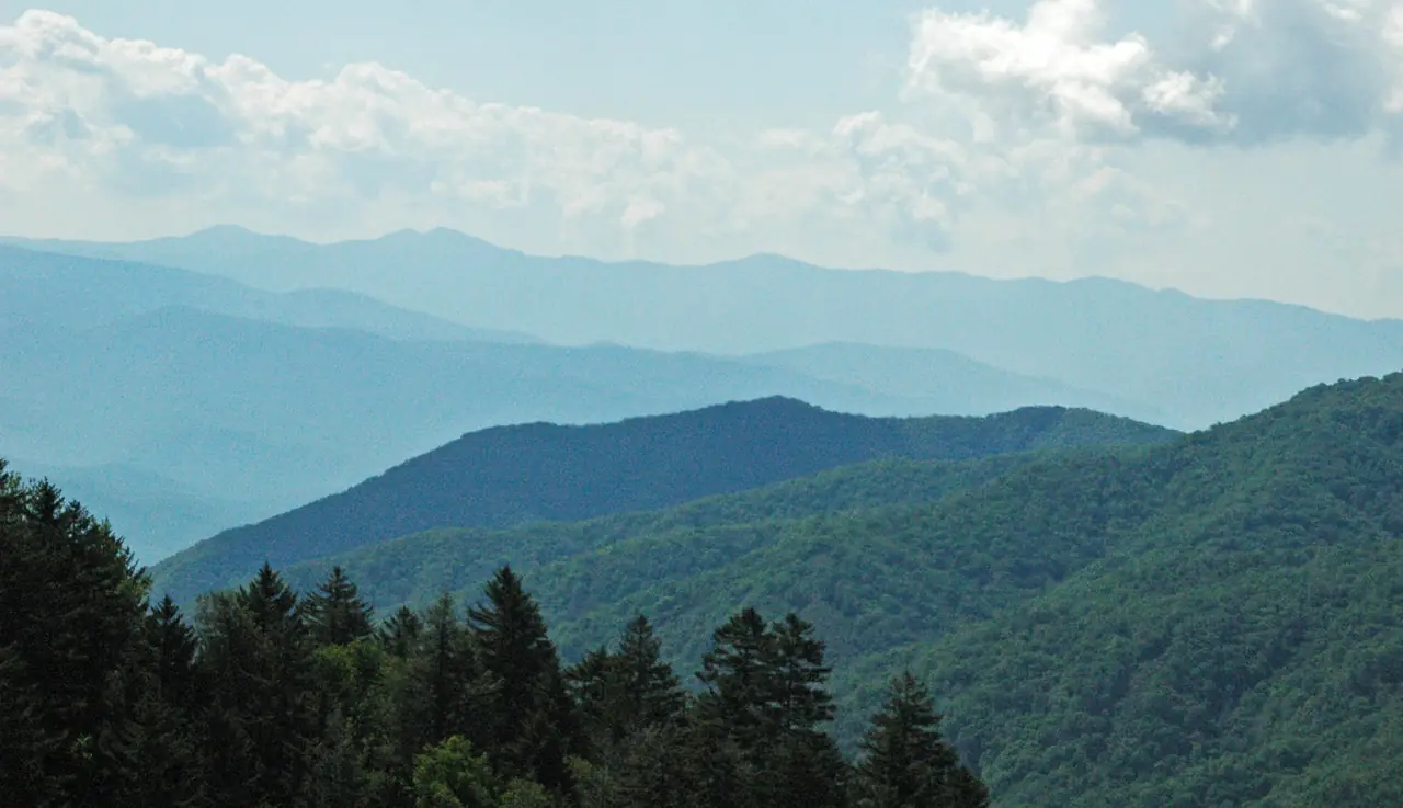
Photo: James St. John, CC BY 2.0 / Wikimedia Commons
A PIT–TYS nonstop would turn an all-day drive into an afternoon.
… travelers have pledged · about … round trips a year
Add your pledge →