Knoxville → the western Smokies
The quiet side: Townsend and Cades Cove
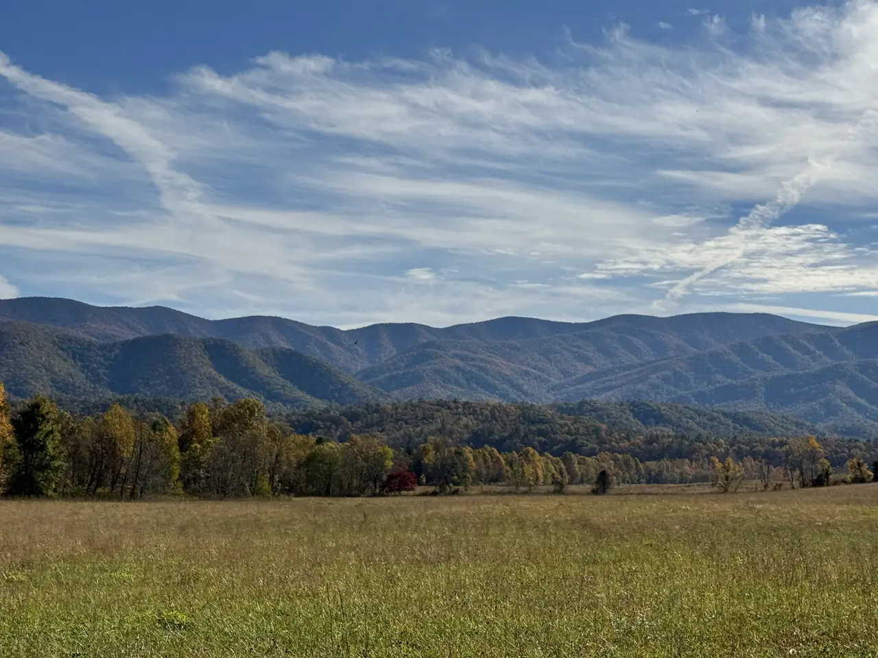
Land at TYS and the nearest way into the Smokies isn't Gatlinburg. It's Townsend, half an hour south, then on to Cades Cove.
Photo: Missvain, CC BY 4.0 / Wikimedia Commons
Short answer
From Knoxville's McGhee Tyson airport, Townsend is 21 miles (about 35m) and the Cades Cove loop is 33 miles (about 1h 05m). Gatlinburg is 45 miles. Cades Cove's loop road is 11 miles, one-way, open sunrise to sunset, and closed to vehicles on Wednesdays, typically May through September (NPS).
From the airport
The quiet side, measured
Interactive
Pick your gateway
Townsend
The park's Townsend entrance is reached on TN-73. Tags sell at the Great Smokies Welcome Center, Cades Cove Visitor Center and the Tremont store, with machines at the Townsend Wye and the Cades Cove Orientation Shelter.
Pick a date to check for a vehicle-free Wednesday.
Drive times are OpenStreetMap routing estimates without traffic, checked 2026-10-20. Cades Cove times run to the start of the loop road by the campground. The date check uses the NPS rule (Wednesdays, typically May through September), not a live closure feed.
NPS
Cades Cove, the facts
The loop
An 11-mile, one-way loop road circles the cove, south of Townsend. NPS says to allow at least two to four hours, longer if you hike.
Hours
Open to vehicles from sunrise to sunset each day, except vehicle-free Wednesdays, typically May through September.
Parking
Stopping longer than 15 minutes means a parking tag: $5 a day, $15 a week or $40 a year. There's a tag machine at the Cades Cove Orientation Shelter.
Getting there
From Knoxville, NPS routes you on US-129 South to Alcoa and Maryville, then on to TN-73 into the park at Townsend. That road passes Alcoa, home of TYS.
Routes
Drive times from TYS
| From TYS to | Miles | Drive, no traffic |
|---|---|---|
| Townsend | 21 | 35m |
| Wears Valley | 28 | 50m |
| Cades Cove | 33 | 1h 05m |
| Pigeon Forge | 38 | 1h 00m |
| Dollywood | 38 | 1h 04m |
| Sugarlands Visitor Center | 41 | 1h 17m |
| Gatlinburg | 45 | 1h 14m |
Vehicle-free Wednesdays
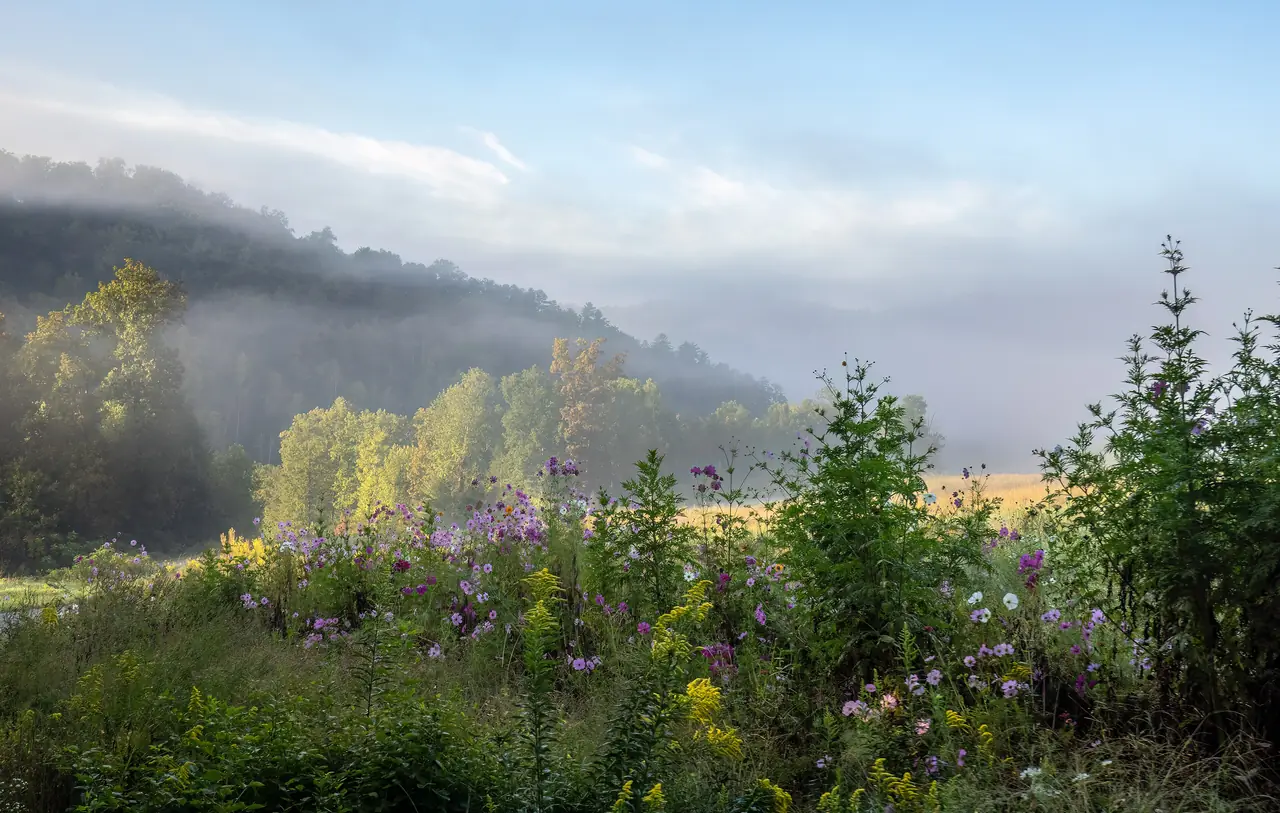
Cades Cove closes to cars on Wednesdays.
NPS closes the loop road to vehicles each Wednesday, typically from May through September. Otherwise it's open to vehicles from sunrise to sunset each day.
Photo: Rhododendrites, CC BY-SA 4.0 / Wikimedia Commons
A nonstop would put Pittsburgh a short drive from Cades Cove. Pledge for PIT–TYS.
… travelers have pledged · about … round trips a year
Add your pledge →Questions
What is the closest Smokies entrance to Knoxville?
How long is the Cades Cove loop?
Is Cades Cove closed on Wednesdays?
How far is Cades Cove from the Knoxville airport?
Do I need a parking tag at Cades Cove?
Sources
- Great Smoky Mountains National Park: Cades Cove (updated Jan 21, 2026)
- Great Smoky Mountains National Park: directions
- Great Smoky Mountains National Park: fees and passes (updated Oct 8, 2026)
- Blount Partnership: Smoky Mountains visitor guide, Townsend ("The Peaceful Side")
- OSRM routing on OpenStreetMap data