I-79 · US-19 · I-77 · I-81 · I-40
Pittsburgh to Knoxville road conditions
Four states, two tunnels, a toll road and some of the highest interstate miles in the East. Here is where to check each stretch live, and what the weather is usually like in the month you drive.
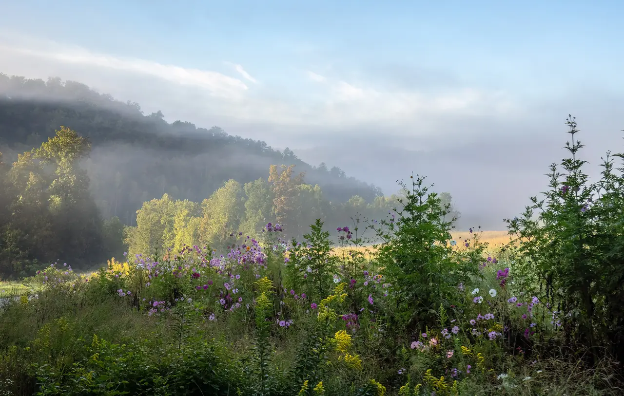
Photo: Rhododendrites, CC BY-SA 4.0 / Wikimedia Commons
Short answer
Check conditions with each state's official system: 511PA, WV511, Virginia 511 and Tennessee SmartWay, or dial 511. In winter, watch southern West Virginia: Beckley averages 15.5 inches of snow in January, more than three times Knoxville's 1.7. The route also runs through two I-77 tunnels in Virginia.
Before you go
Official live conditions, state by state
West Virginia
I-79, US-19 over the New River Gorge Bridge, then the I-77 Turnpike from Beckley to Princeton.
WV511 · dial 511
Virginia
I-77 through the East River Mountain and Big Walker Mountain tunnels, then I-81 south from Wytheville.
Virginia 511 · dial 511
Live
Forecast along the route
Press the button to load live data from the National Weather Service (api.weather.gov). Nothing loads until you do.
Interactive
What a normal month looks like
Snowiest stop on the route in January
| On the route | Miles from Pittsburgh | Snow, in. | Days 1 in.+ snow | Nights below 32°F | High / low °F |
|---|---|---|---|---|---|
| PittsburghPittsburgh Intl Airport station | 0 | 13.3 | 4.4 | 25.4 | 36 / 21 |
| Beckley, WVBeckley Raleigh County Airport station | 239 | 15.5 | 4.6 | 23.9 | 41 / 24 |
| Bluefield, WVBluefield Mercer County Airport station | 287 | 9.9 | 3.0 | 22.5 | 40 / 24 |
| Bristol, TNTri-Cities Airport station | 380 | 3.0 | 1.1 | 21.8 | 47 / 26 |
| KnoxvilleMcGhee Tyson Airport station | 492 | 1.7 | 0.7 | 18.5 | 48 / 30 |
NOAA 1991-2020 monthly normals at airport weather stations on or near the route. Miles from Pittsburgh are by our OpenStreetMap route. Normals describe a typical month, not this week; use the live forecast and 511 for the day you drive.
On the way
Landmarks that change the drive
New River Gorge Bridge
US-19 crosses the gorge on a 3,030-foot bridge, 876 feet above the New River, finished in 1977. Bridge Day falls on the third Saturday in October (NPS).
West Virginia Turnpike
88 miles of I-77/I-64 from Charleston to Princeton. Mainline plazas charge a car $4.50 cash. A Single Fee Discount Plan covers a year of unlimited car trips for $27.50 per transponder plus a one-time $13 fee. The US-19 plaza at North Beckley takes E-ZPass and Pay-By-Plate only.
East River Mountain Tunnel
I-77 passes under the ridge at the state line in a 5,654-foot tunnel, opened in 1974. About 54% of it is in Virginia (VDOT).
Big Walker Mountain Tunnel
The second I-77 tunnel, in Bland County, Virginia, between mile markers 47 and 49 (VDOT).
492 miles of mountain interstate, or about 1h 18m in the air. Pledge for the nonstop.
… travelers have pledged · about … round trips a year
Add your pledge →Questions
How do I check road conditions from Pittsburgh to Knoxville?
Where is the worst winter weather on the drive?
Are there tunnels on the Pittsburgh to Knoxville drive?
What is the speed limit on the West Virginia Turnpike?
Sources
- PennDOT: 511PA traveler information
- WVDOT: current road conditions, official WV511 link
- VDOT: Virginia 511
- TDOT: Tennessee 511 and SmartWay
- West Virginia Parkways Authority: toll rates and the Single Fee Discount Plan
- West Virginia Parkways Authority: Turnpike information (88 miles, Charleston to Princeton)
- West Virginia Parkways Authority: safety and assistance (speed limits, 511)
- VDOT: I-77 East River Mountain Tunnel celebrates 50th anniversary (updated Oct 16, 2026)
- VDOT: I-77 Big Walker Mountain Tunnel ventilation upgrades (Aug 5, 2025)
- National Park Service: New River Gorge Bridge (updated Sept 26, 2025)
- NOAA NCEI: U.S. Climate Normals 1991-2020, monthly (fetched Oct 19, 2026)
- National Weather Service API (api.weather.gov)
- OSRM routing on OpenStreetMap data (drive times without traffic, fetched Oct 19, 2026)